Footpath north of the M67
Introduction
The photograph on this page of Footpath north of the M67 by Gerald England as part of the Geograph project.
The Geograph project started in 2005 with the aim of publishing, organising and preserving representative images for every square kilometre of Great Britain, Ireland and the Isle of Man.

There are currently over 7.5m images from over 14,400 individuals and you can help contribute to the project by visiting https://www.geograph.org.uk
Footpath north of the M67
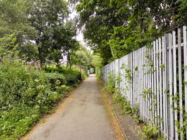
Image: © Gerald England Taken: 12 Aug 2016
Behind the fencing on the right is the cutting that holds the M67 motorway. Before it was built in the 1970s this would have been a street with terraced houses either side.
Images are licensed for reuse under creativecommons.org/licenses/by-sa/2.0
Image Location
Latitude
53.453529
Longitude
-2.081278