Pembroke House, Tenbury Wells
Introduction
The photograph on this page of Pembroke House, Tenbury Wells by Richard Rogerson as part of the Geograph project.
The Geograph project started in 2005 with the aim of publishing, organising and preserving representative images for every square kilometre of Great Britain, Ireland and the Isle of Man.

There are currently over 7.5m images from over 14,400 individuals and you can help contribute to the project by visiting https://www.geograph.org.uk
Pembroke House, Tenbury Wells
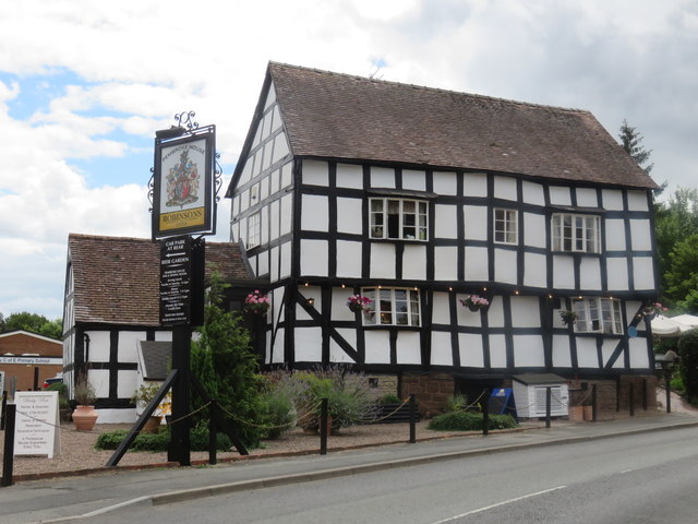
Image: © Richard Rogerson Taken: 30 Jul 2016
Once the site of a Tollhouse, Pembroke House was built as a farmhouse in the 16th century; by the year 1600 it was a cider house and now functions as an inn/restaurant.
Images are licensed for reuse under creativecommons.org/licenses/by-sa/2.0
Image Location
Latitude
52.307709
Longitude
-2.59602