Countryside around Weare from the air
Introduction
The photograph on this page of Countryside around Weare from the air by Derek Harper as part of the Geograph project.
The Geograph project started in 2005 with the aim of publishing, organising and preserving representative images for every square kilometre of Great Britain, Ireland and the Isle of Man.

There are currently over 7.5m images from over 14,400 individuals and you can help contribute to the project by visiting https://www.geograph.org.uk
Countryside around Weare from the air
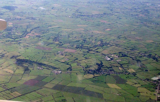
Image: © Derek Harper Taken: 8 Sep 2016
With part of the Somerset Levels southwest of Axbridge below. The white area just above the village Weare shows the premises of Premium Timber Products - see Image
Images are licensed for reuse under creativecommons.org/licenses/by-sa/2.0
Image Location
Latitude
51.26321
Longitude
-2.844112