Hangman's Lane bridleway to Ringwould
Introduction
The photograph on this page of Hangman's Lane bridleway to Ringwould by Hugh Craddock as part of the Geograph project.
The Geograph project started in 2005 with the aim of publishing, organising and preserving representative images for every square kilometre of Great Britain, Ireland and the Isle of Man.

There are currently over 7.5m images from over 14,400 individuals and you can help contribute to the project by visiting https://www.geograph.org.uk
Hangman's Lane bridleway to Ringwould
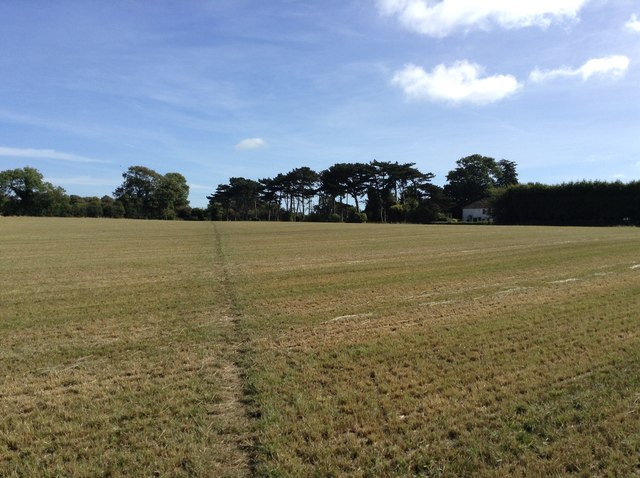
Image: © Hugh Craddock Taken: 3 Sep 2016
Hangman's Lane across an arable field looking towards Ringwould. This is public bridleway ER16.
Images are licensed for reuse under creativecommons.org/licenses/by-sa/2.0
Image Location
Latitude
51.183984
Longitude
1.370293