Support vessels at Greenock Dock
Introduction
The photograph on this page of Support vessels at Greenock Dock by Richard Hoare as part of the Geograph project.
The Geograph project started in 2005 with the aim of publishing, organising and preserving representative images for every square kilometre of Great Britain, Ireland and the Isle of Man.

There are currently over 7.5m images from over 14,400 individuals and you can help contribute to the project by visiting https://www.geograph.org.uk
Support vessels at Greenock Dock
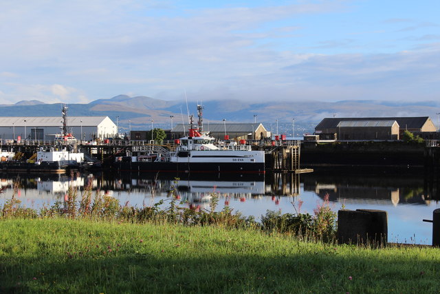
Image: © Richard Hoare Taken: 4 Sep 2016
The SD's Eva and Oilman.
Images are licensed for reuse under creativecommons.org/licenses/by-sa/2.0
Image Location
Latitude
55.945095
Longitude
-4.723144