River Heights, Earl Rise, Plumstead
Introduction
The photograph on this page of River Heights, Earl Rise, Plumstead by Marathon as part of the Geograph project.
The Geograph project started in 2005 with the aim of publishing, organising and preserving representative images for every square kilometre of Great Britain, Ireland and the Isle of Man.

There are currently over 7.5m images from over 14,400 individuals and you can help contribute to the project by visiting https://www.geograph.org.uk
River Heights, Earl Rise, Plumstead
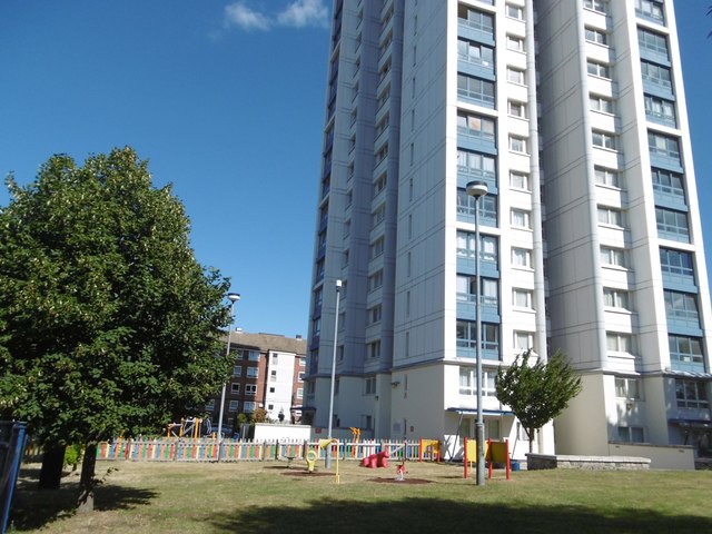
Image: © Marathon Taken: 8 Sep 2016
The tower block is known as River Heights. The sign outside says it is a tenant management co-operative.
Images are licensed for reuse under creativecommons.org/licenses/by-sa/2.0
Image Location
Latitude
51.487316
Longitude
0.081983