Road Information Board, Leeds Road
Introduction
The photograph on this page of Road Information Board, Leeds Road by David Ward as part of the Geograph project.
The Geograph project started in 2005 with the aim of publishing, organising and preserving representative images for every square kilometre of Great Britain, Ireland and the Isle of Man.

There are currently over 7.5m images from over 14,400 individuals and you can help contribute to the project by visiting https://www.geograph.org.uk
Road Information Board, Leeds Road
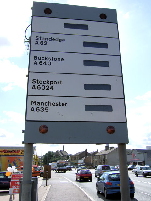
Image: © David Ward Taken: 30 Jul 2007
This board/sign in the Leeds Road is used to show whether roads across the Pennines after winter snows are still open to traffic or not.
Images are licensed for reuse under creativecommons.org/licenses/by-sa/2.0
Image Location
Latitude
53.656656
Longitude
-1.771787