Mannachie Gardens
Introduction
The photograph on this page of Mannachie Gardens by Anne Burgess as part of the Geograph project.
The Geograph project started in 2005 with the aim of publishing, organising and preserving representative images for every square kilometre of Great Britain, Ireland and the Isle of Man.

There are currently over 7.5m images from over 14,400 individuals and you can help contribute to the project by visiting https://www.geograph.org.uk
Mannachie Gardens
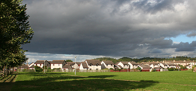
Image: © Anne Burgess Taken: 31 Aug 2016
These are the backs of the houses along Mannachie Gardens, one of the new housing estates that have sprung up on the outskirts of Forres.
Images are licensed for reuse under creativecommons.org/licenses/by-sa/2.0
Image Location
Latitude
57.601596
Longitude
-3.62073