Mulberry House, Chequer Lane
Introduction
The photograph on this page of Mulberry House, Chequer Lane by John Baker as part of the Geograph project.
The Geograph project started in 2005 with the aim of publishing, organising and preserving representative images for every square kilometre of Great Britain, Ireland and the Isle of Man.

There are currently over 7.5m images from over 14,400 individuals and you can help contribute to the project by visiting https://www.geograph.org.uk
Mulberry House, Chequer Lane
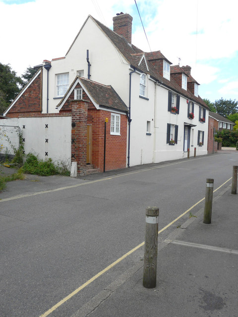
Image: © John Baker Taken: 21 Aug 2016
This shows the Image during its construction. It is a grade II listed building that was built in the 18th century. It was extended in 1813 (with money from Queen Anne’s bounty) and during the late 20th century. It was used as a vicarage until 1900 http://www.britishlistedbuildings.co.uk/en-178032-mulberry-house-ash-kent#.V9Bsf5pTHcc
Images are licensed for reuse under creativecommons.org/licenses/by-sa/2.0
Image Location
Latitude
51.279591
Longitude
1.275748