Conversion of a farm building, Grove Road
Introduction
The photograph on this page of Conversion of a farm building, Grove Road by John Baker as part of the Geograph project.
The Geograph project started in 2005 with the aim of publishing, organising and preserving representative images for every square kilometre of Great Britain, Ireland and the Isle of Man.

There are currently over 7.5m images from over 14,400 individuals and you can help contribute to the project by visiting https://www.geograph.org.uk
Conversion of a farm building, Grove Road
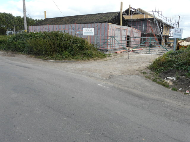
Image: © John Baker Taken: 21 Aug 2016
The original building is in the foreground; it seems that an extension is being added. As it is not marked with a name on maps, I have been unable to unearth the relevant planning application, as yet.
Images are licensed for reuse under creativecommons.org/licenses/by-sa/2.0
Image Location
Latitude
51.308167
Longitude
1.205312