Looking northeast along Stodmarsh Road
Introduction
The photograph on this page of Looking northeast along Stodmarsh Road by John Baker as part of the Geograph project.
The Geograph project started in 2005 with the aim of publishing, organising and preserving representative images for every square kilometre of Great Britain, Ireland and the Isle of Man.

There are currently over 7.5m images from over 14,400 individuals and you can help contribute to the project by visiting https://www.geograph.org.uk
Looking northeast along Stodmarsh Road
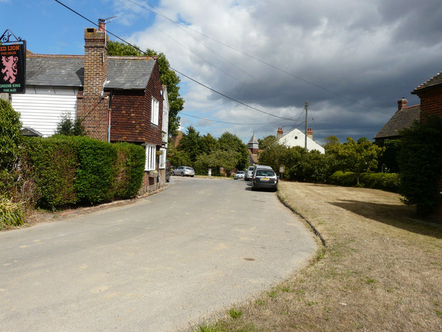
Image: © John Baker Taken: 21 Aug 2016
A typical village scene with the Red Lion public house on the left and part of St Mary’s church in the distance. The village green (beside which a silver car is parked) and the grass verge have suffered the ravages of a prolonged dry spell.
Images are licensed for reuse under creativecommons.org/licenses/by-sa/2.0
Image Location
Latitude
51.300779
Longitude
1.1827