Southern end of Gladstone Road, Barry
Introduction
The photograph on this page of Southern end of Gladstone Road, Barry by Jaggery as part of the Geograph project.
The Geograph project started in 2005 with the aim of publishing, organising and preserving representative images for every square kilometre of Great Britain, Ireland and the Isle of Man.

There are currently over 7.5m images from over 14,400 individuals and you can help contribute to the project by visiting https://www.geograph.org.uk
Southern end of Gladstone Road, Barry
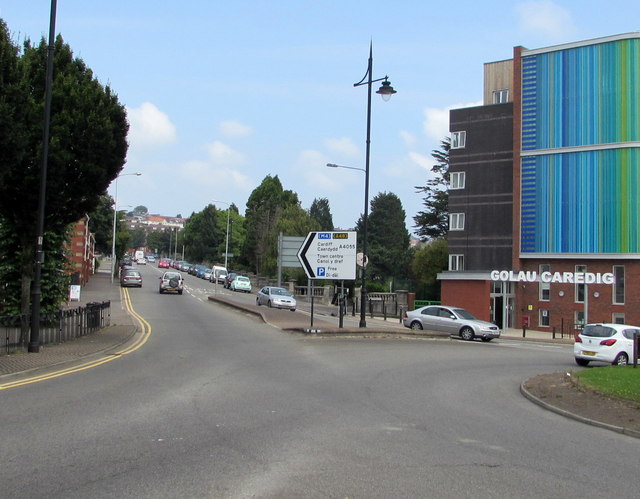
Image: © Jaggery Taken: 18 Aug 2016
Looking NNE along the A4055 Gladstone Road from the eastern end of the A4055 Broad Street. Golau Caredig http://www.geograph.org.uk/photo/5084560 is on the right.
Images are licensed for reuse under creativecommons.org/licenses/by-sa/2.0
Image Location
Latitude
51.403997
Longitude
-3.274692