Seaview, Grain
Introduction
The photograph on this page of Seaview, Grain by Chris Whippet as part of the Geograph project.
The Geograph project started in 2005 with the aim of publishing, organising and preserving representative images for every square kilometre of Great Britain, Ireland and the Isle of Man.

There are currently over 7.5m images from over 14,400 individuals and you can help contribute to the project by visiting https://www.geograph.org.uk
Seaview, Grain
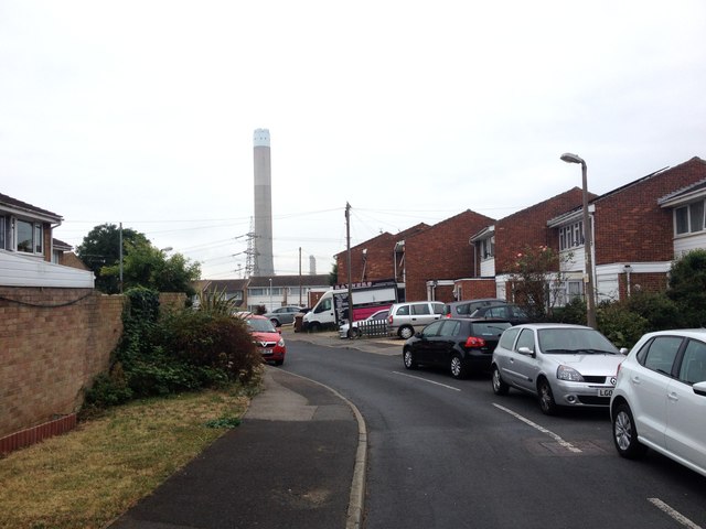
Image: © Chris Whippet Taken: 7 Sep 2016
Photo taken shortly before the chimney for the defunct Grain A power station was demolished. A comparison shot taken later the same day is here: http://www.geograph.org.uk/photo/5108165
Images are licensed for reuse under creativecommons.org/licenses/by-sa/2.0
Image Location
Latitude
51.45333
Longitude
0.718391