Wardrew Road, Exeter
Introduction
The photograph on this page of Wardrew Road, Exeter by Jaggery as part of the Geograph project.
The Geograph project started in 2005 with the aim of publishing, organising and preserving representative images for every square kilometre of Great Britain, Ireland and the Isle of Man.

There are currently over 7.5m images from over 14,400 individuals and you can help contribute to the project by visiting https://www.geograph.org.uk
Wardrew Road, Exeter
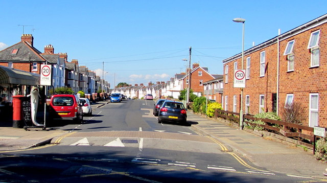
Image: © Jaggery Taken: 30 Aug 2016
Viewed across Cowick Street, looking north along Wardrew Road towards Okehampton Road. White triangles are painted on speed bumps in front of signs showing the start of a 20mph maximum speed zone. A pillarbox and a depiction of a large fish are on the left.
Images are licensed for reuse under creativecommons.org/licenses/by-sa/2.0
Image Location
Latitude
50.716194
Longitude
-3.546185