Salters Lane path
Introduction
The photograph on this page of Salters Lane path by Graham Robson as part of the Geograph project.
The Geograph project started in 2005 with the aim of publishing, organising and preserving representative images for every square kilometre of Great Britain, Ireland and the Isle of Man.

There are currently over 7.5m images from over 14,400 individuals and you can help contribute to the project by visiting https://www.geograph.org.uk
Salters Lane path
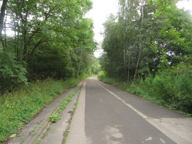
Image: © Graham Robson Taken: 21 Aug 2016
What appears to be the former alignment of the main Salters Lane road has been retained to provide access to the rear of Newcastle Racecourse and allow pedestrians and cyclists to avoid the busy junction nearby.
Images are licensed for reuse under creativecommons.org/licenses/by-sa/2.0
Image Location


Leaflet Map data © OpenStreetMap
Latitude
55.023771
Longitude
-1.594229