High Street and Main Street, Neilston
Introduction
The photograph on this page of High Street and Main Street, Neilston by Richard Webb as part of the Geograph project.
The Geograph project started in 2005 with the aim of publishing, organising and preserving representative images for every square kilometre of Great Britain, Ireland and the Isle of Man.

There are currently over 7.5m images from over 14,400 individuals and you can help contribute to the project by visiting https://www.geograph.org.uk
High Street and Main Street, Neilston
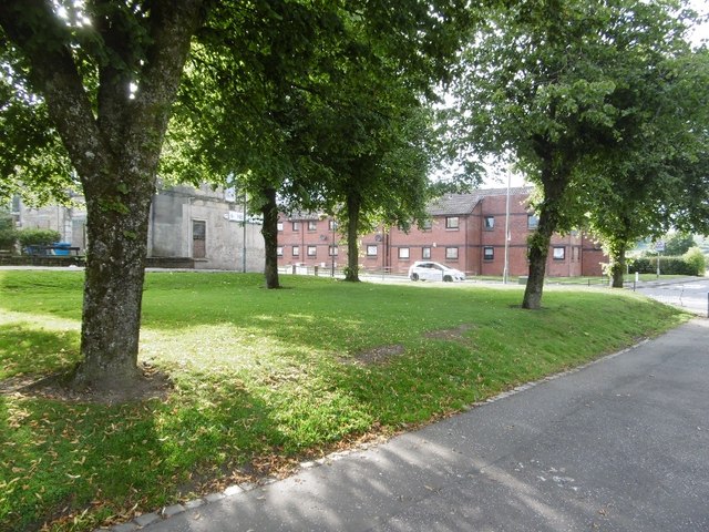
Image: © Richard Webb Taken: 28 Aug 2016
Trees on a street corner, between High Street and Kirkstyle Lane. This block was once built up.
Images are licensed for reuse under creativecommons.org/licenses/by-sa/2.0
Image Location
Latitude
55.784956
Longitude
-4.425317