Mhungasdail River
Introduction
The photograph on this page of Mhungasdail River by Kathy E as part of the Geograph project.
The Geograph project started in 2005 with the aim of publishing, organising and preserving representative images for every square kilometre of Great Britain, Ireland and the Isle of Man.

There are currently over 7.5m images from over 14,400 individuals and you can help contribute to the project by visiting https://www.geograph.org.uk
Mhungasdail River
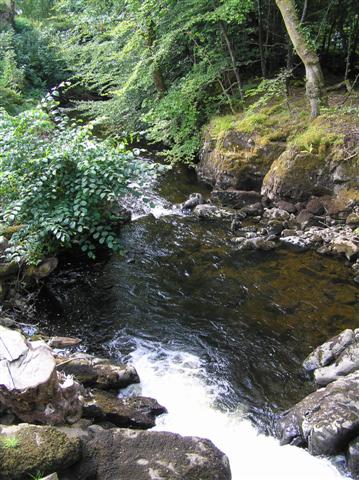
Image: © Kathy E Taken: 4 Sep 2005
This is the waterfall downstream of the bridge over Abhainn Mhungasdail.
Images are licensed for reuse under creativecommons.org/licenses/by-sa/2.0
Image Location


Leaflet Map data © OpenStreetMap
Latitude
56.61145
Longitude
-5.978016