Scruton village
Introduction
The photograph on this page of Scruton village by Gordon Hatton as part of the Geograph project.
The Geograph project started in 2005 with the aim of publishing, organising and preserving representative images for every square kilometre of Great Britain, Ireland and the Isle of Man.

There are currently over 7.5m images from over 14,400 individuals and you can help contribute to the project by visiting https://www.geograph.org.uk
Scruton village
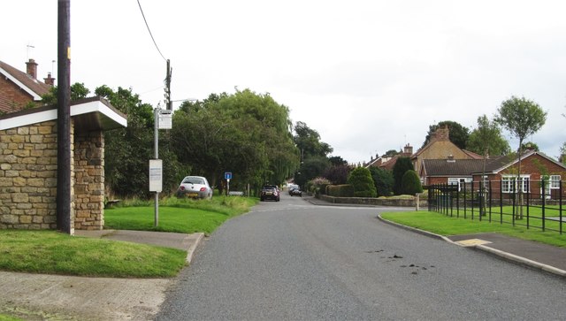
Image: © Gordon Hatton Taken: 4 Sep 2016
The older and more interesting half of the village lies ahead down a dead end road and is in the next square. Here the through road bears to the right, passing the pub before reaching the A684.
Images are licensed for reuse under creativecommons.org/licenses/by-sa/2.0
Image Location
Latitude
54.325676
Longitude
-1.542084