Rosehearty Harbour
Introduction
The photograph on this page of Rosehearty Harbour by Anne Burgess as part of the Geograph project.
The Geograph project started in 2005 with the aim of publishing, organising and preserving representative images for every square kilometre of Great Britain, Ireland and the Isle of Man.

There are currently over 7.5m images from over 14,400 individuals and you can help contribute to the project by visiting https://www.geograph.org.uk
Rosehearty Harbour
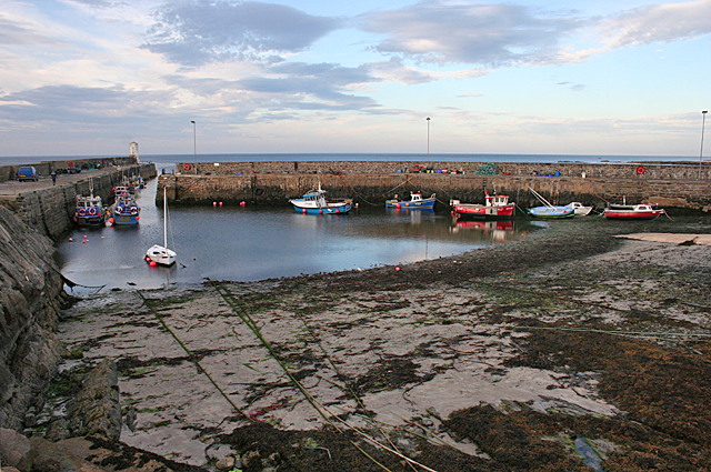
Image: © Anne Burgess Taken: 30 Aug 2016
The harbour opens out to provide a wide space for far more boats than make use of it now. Most of it dries at low tide.
Images are licensed for reuse under creativecommons.org/licenses/by-sa/2.0
Image Location
Latitude
57.699873
Longitude
-2.11642