Up Lord's Hill, Coleford
Introduction
The photograph on this page of Up Lord's Hill, Coleford by Jaggery as part of the Geograph project.
The Geograph project started in 2005 with the aim of publishing, organising and preserving representative images for every square kilometre of Great Britain, Ireland and the Isle of Man.

There are currently over 7.5m images from over 14,400 individuals and you can help contribute to the project by visiting https://www.geograph.org.uk
Up Lord's Hill, Coleford
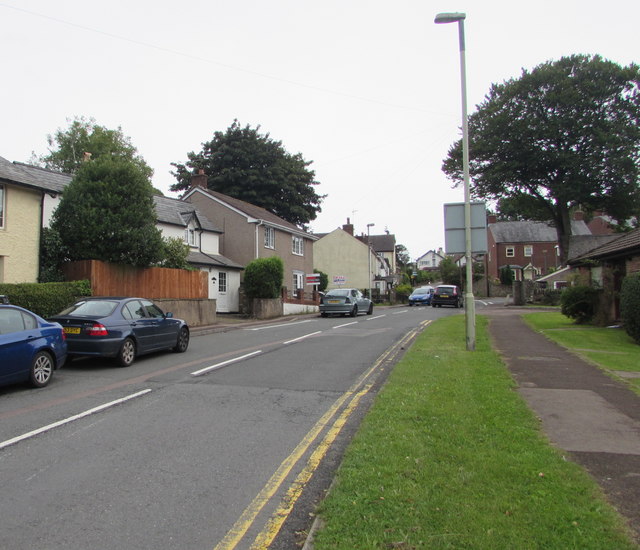
Image: © Jaggery Taken: 4 Sep 2016
Lord's Hill ascends from the B4228 Old Station Way towards Coalway.
Images are licensed for reuse under creativecommons.org/licenses/by-sa/2.0
Image Location


Leaflet Map data © OpenStreetMap
Latitude
51.792721
Longitude
-2.613128