Pittulie Castle
Introduction
The photograph on this page of Pittulie Castle by Anne Burgess as part of the Geograph project.
The Geograph project started in 2005 with the aim of publishing, organising and preserving representative images for every square kilometre of Great Britain, Ireland and the Isle of Man.

There are currently over 7.5m images from over 14,400 individuals and you can help contribute to the project by visiting https://www.geograph.org.uk
Pittulie Castle
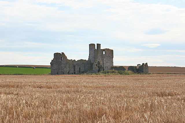
Image: © Anne Burgess Taken: 30 Aug 2016
This seems to be the duty shot that everyone takes for this square. Once the crop is cut, I will make an effort to get closer to it for a better view! The castle dates from the early 17th century. See https://canmore.org.uk/site/20800/castle-of-pittulie for more information.
Images are licensed for reuse under creativecommons.org/licenses/by-sa/2.0
Image Location
Latitude
57.693066
Longitude
-2.093586