Wallingford
Introduction
The photograph on this page of Wallingford by Dr Neil Clifton as part of the Geograph project.
The Geograph project started in 2005 with the aim of publishing, organising and preserving representative images for every square kilometre of Great Britain, Ireland and the Isle of Man.

There are currently over 7.5m images from over 14,400 individuals and you can help contribute to the project by visiting https://www.geograph.org.uk
Wallingford
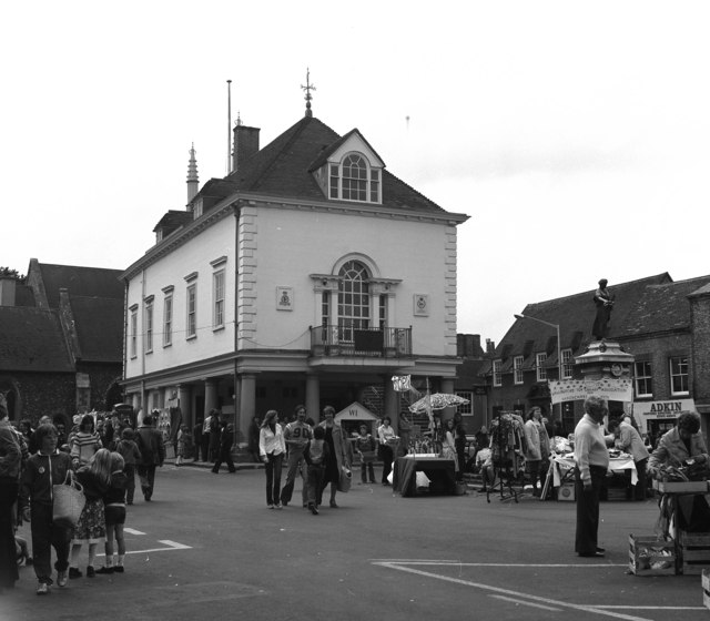
Image: © Dr Neil Clifton Taken: 17 Jun 1978
This is the only photograph I have ever taken of this proud old town. I presume the building in the foreground is the Town Hall. For many years, Wallingford was the County Town of Berkshire. Then one day in 1974, some four-eyed freak from Whitehall turns up and says, "Sorry chaps, we're putting you in Oxfordshire now!" What presumption!
Images are licensed for reuse under creativecommons.org/licenses/by-sa/2.0
Image Location
Latitude
51.600249
Longitude
-1.122267