Camel Valley Vineyard, near Nanstallon
Introduction
The photograph on this page of Camel Valley Vineyard, near Nanstallon by David Hawgood as part of the Geograph project.
The Geograph project started in 2005 with the aim of publishing, organising and preserving representative images for every square kilometre of Great Britain, Ireland and the Isle of Man.

There are currently over 7.5m images from over 14,400 individuals and you can help contribute to the project by visiting https://www.geograph.org.uk
Camel Valley Vineyard, near Nanstallon
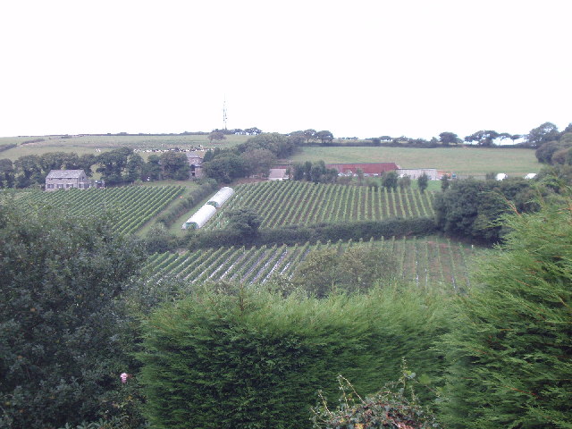
Image: © David Hawgood Taken: 5 Sep 2005
8000 vines grow on the south-facing side of the Camel Valley. See www.camelvalley.com for information about the vineyard as a place to visit, and about the wines and awards they have won. The photo was taken across the valley from the road near Butterwell. The vineyard runs from SX026678 down to the Camel Trail
Images are licensed for reuse under creativecommons.org/licenses/by-sa/2.0
Image Location


Leaflet Map data © OpenStreetMap
Latitude
50.47307
Longitude
-4.784686