Information board, Pontnewynydd Methodist Church
Introduction
The photograph on this page of Information board, Pontnewynydd Methodist Church by Jaggery as part of the Geograph project.
The Geograph project started in 2005 with the aim of publishing, organising and preserving representative images for every square kilometre of Great Britain, Ireland and the Isle of Man.

There are currently over 7.5m images from over 14,400 individuals and you can help contribute to the project by visiting https://www.geograph.org.uk
Information board, Pontnewynydd Methodist Church
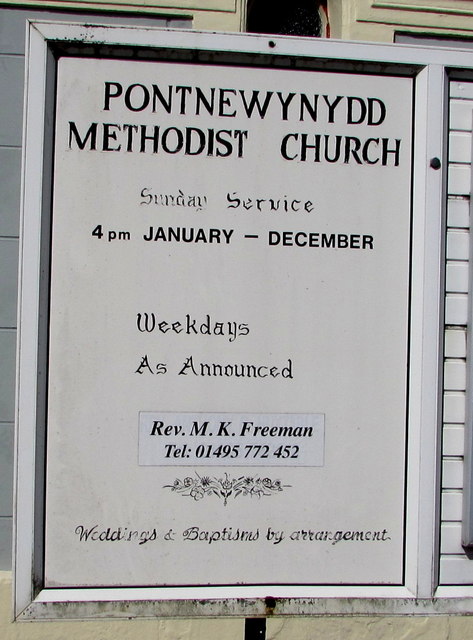
Image: © Jaggery Taken: 1 Sep 2016
Located here. http://www.geograph.org.uk/photo/5101652 In September 2016, Sunday Service is at 4pm. Weekdays as announced. Weddings and baptisms by arrangement.
Images are licensed for reuse under creativecommons.org/licenses/by-sa/2.0
Image Location
Latitude
51.711102
Longitude
-3.053754