Ebenezer Centre, Cwmffrwdoer above Pontnewynydd
Introduction
The photograph on this page of Ebenezer Centre, Cwmffrwdoer above Pontnewynydd by Jaggery as part of the Geograph project.
The Geograph project started in 2005 with the aim of publishing, organising and preserving representative images for every square kilometre of Great Britain, Ireland and the Isle of Man.

There are currently over 7.5m images from over 14,400 individuals and you can help contribute to the project by visiting https://www.geograph.org.uk
Ebenezer Centre, Cwmffrwdoer above Pontnewynydd
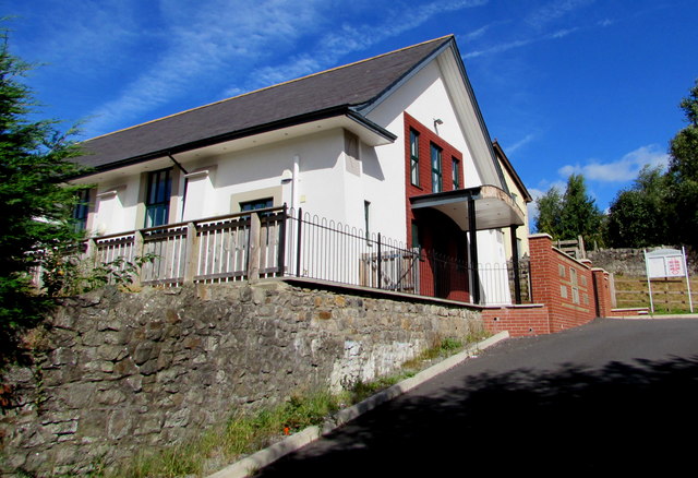
Image: © Jaggery Taken: 1 Sep 2016
Set back 50 metres above the north side of Hanbury Road. The former Sunday School building has been converted to a multipurpose community centre with 21st century facilities.
Images are licensed for reuse under creativecommons.org/licenses/by-sa/2.0
Image Location
Latitude
51.709956
Longitude
-3.061109