Village Hall
Introduction
The photograph on this page of Village Hall by Anne Burgess as part of the Geograph project.
The Geograph project started in 2005 with the aim of publishing, organising and preserving representative images for every square kilometre of Great Britain, Ireland and the Isle of Man.

There are currently over 7.5m images from over 14,400 individuals and you can help contribute to the project by visiting https://www.geograph.org.uk
Village Hall
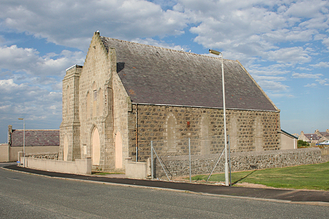
Image: © Anne Burgess Taken: 30 Aug 2016
This is obviously a former kirk, and a notice on the other side says it is a community hall. The map also says 'hall', but I wonder if perhaps it is no longer in use as such?
Images are licensed for reuse under creativecommons.org/licenses/by-sa/2.0
Image Location
Latitude
57.697125
Longitude
-2.066251