Pittulie
Introduction
The photograph on this page of Pittulie by Anne Burgess as part of the Geograph project.
The Geograph project started in 2005 with the aim of publishing, organising and preserving representative images for every square kilometre of Great Britain, Ireland and the Isle of Man.

There are currently over 7.5m images from over 14,400 individuals and you can help contribute to the project by visiting https://www.geograph.org.uk
Pittulie
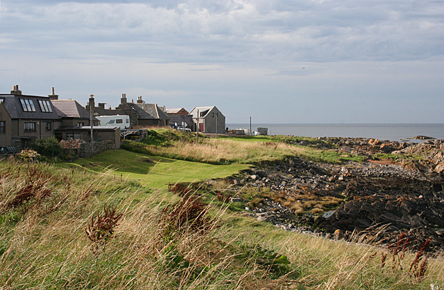
Image: © Anne Burgess Taken: 30 Aug 2016
Pittulie is contiguous with Sandhaven, but is much older, with traditional cottages mostly gable-end to the sea.
Images are licensed for reuse under creativecommons.org/licenses/by-sa/2.0
Image Location
Latitude
57.697395
Longitude
-2.065581