Reservoir
Introduction
The photograph on this page of Reservoir by David Williams as part of the Geograph project.
The Geograph project started in 2005 with the aim of publishing, organising and preserving representative images for every square kilometre of Great Britain, Ireland and the Isle of Man.

There are currently over 7.5m images from over 14,400 individuals and you can help contribute to the project by visiting https://www.geograph.org.uk
Reservoir
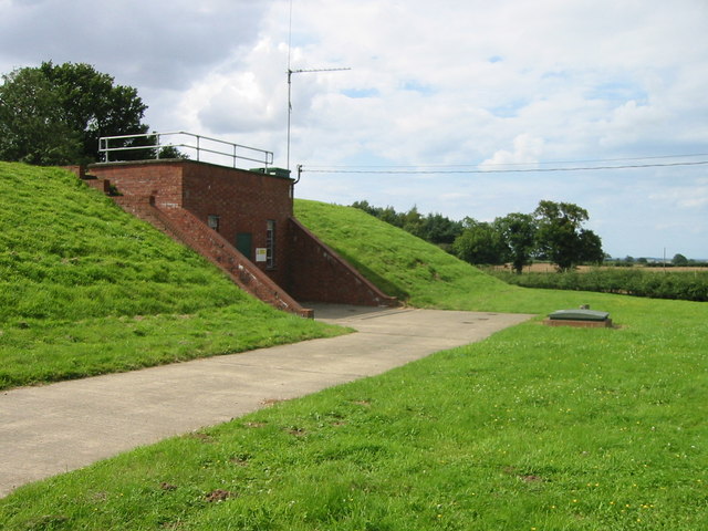
Image: © David Williams Taken: 28 Jul 2007
Norfolk is not 'mountainous' so locating suitable locations for reservoirs on high ground is not easy. This one is next to Middle Heath Plantation on the A 148 road from Fakenham to Cromer and is about 90 metres above ground level.
Images are licensed for reuse under creativecommons.org/licenses/by-sa/2.0
Image Location
Latitude
52.871073
Longitude
0.965989