An unused corner
Introduction
The photograph on this page of An unused corner by Richard Webb as part of the Geograph project.
The Geograph project started in 2005 with the aim of publishing, organising and preserving representative images for every square kilometre of Great Britain, Ireland and the Isle of Man.

There are currently over 7.5m images from over 14,400 individuals and you can help contribute to the project by visiting https://www.geograph.org.uk
An unused corner
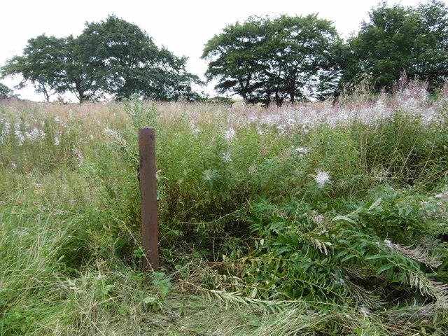
Image: © Richard Webb Taken: 28 Aug 2016
At the bottom of Clunch Road at the junction with the A77 there is this area of weeds. The gatepost suggests a house once stood here, but I have found no mapped evidence. 1:25,000 mapping from 1957 shows a pond here.
Images are licensed for reuse under creativecommons.org/licenses/by-sa/2.0
Image Location
Latitude
55.673148
Longitude
-4.438749