Trowers Footbridge, River Wey, Surrey
Introduction
The photograph on this page of Trowers Footbridge, River Wey, Surrey by Dr Neil Clifton as part of the Geograph project.
The Geograph project started in 2005 with the aim of publishing, organising and preserving representative images for every square kilometre of Great Britain, Ireland and the Isle of Man.

There are currently over 7.5m images from over 14,400 individuals and you can help contribute to the project by visiting https://www.geograph.org.uk
Trowers Footbridge, River Wey, Surrey
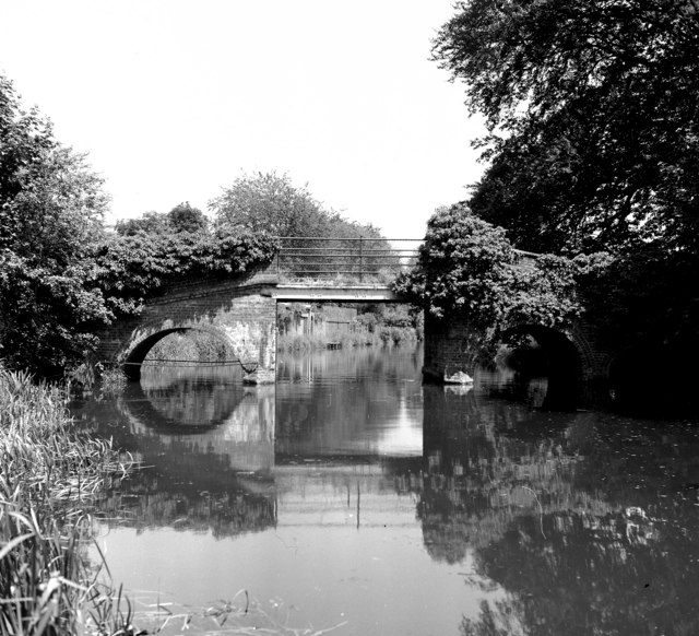
Image: © Dr Neil Clifton Taken: 11 Jun 1978
In my fieldbook I recorded this as 'Farncombe Bridge', but I am fairly certain it is actually the bridge named on the Geoprojects map as above, especially as this map has the next bridge to the south named as 'Catteshall Bridge'.
Images are licensed for reuse under creativecommons.org/licenses/by-sa/2.0
Image Location
Latitude
51.194778
Longitude
-0.59403