Brooksbottoms, Plantation View
Introduction
The photograph on this page of Brooksbottoms, Plantation View by David Dixon as part of the Geograph project.
The Geograph project started in 2005 with the aim of publishing, organising and preserving representative images for every square kilometre of Great Britain, Ireland and the Isle of Man.

There are currently over 7.5m images from over 14,400 individuals and you can help contribute to the project by visiting https://www.geograph.org.uk
Brooksbottoms, Plantation View
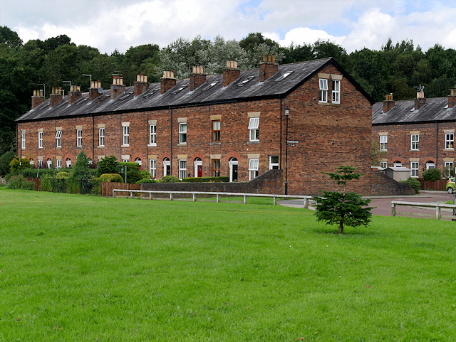
Image: © David Dixon Taken: 26 Aug 2016
One of five rows of back-to-back cottages built in the 1880s to house workers from the nearby Brooksbottoms Mill.
Images are licensed for reuse under creativecommons.org/licenses/by-sa/2.0
Image Location
Latitude
53.631914
Longitude
-2.317224