The Street, Botesdale, Suffolk
Introduction
The photograph on this page of The Street, Botesdale, Suffolk by Derek Voller as part of the Geograph project.
The Geograph project started in 2005 with the aim of publishing, organising and preserving representative images for every square kilometre of Great Britain, Ireland and the Isle of Man.

There are currently over 7.5m images from over 14,400 individuals and you can help contribute to the project by visiting https://www.geograph.org.uk
The Street, Botesdale, Suffolk
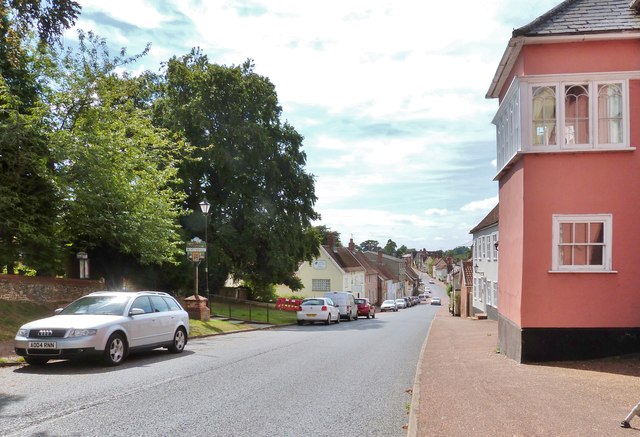
Image: © Derek Voller Taken: 1 Sep 2016
Looking South towards Rickinghall, which was once a separate community at the far end of this architecturally interesting thoroughfare. But over the years they have now been joined.
Images are licensed for reuse under creativecommons.org/licenses/by-sa/2.0
Image Location
Latitude
52.341793
Longitude
1.003395