Mains of Pittendrum
Introduction
The photograph on this page of Mains of Pittendrum by Anne Burgess as part of the Geograph project.
The Geograph project started in 2005 with the aim of publishing, organising and preserving representative images for every square kilometre of Great Britain, Ireland and the Isle of Man.

There are currently over 7.5m images from over 14,400 individuals and you can help contribute to the project by visiting https://www.geograph.org.uk
Mains of Pittendrum
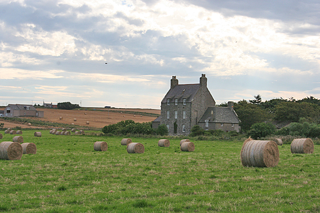
Image: © Anne Burgess Taken: 30 Aug 2016
See Image] for information about the farm house itself. At extreme left are Pittendrum Cottages, and at the top of the brae is Smithy Croft.
Images are licensed for reuse under creativecommons.org/licenses/by-sa/2.0
Image Location
Latitude
57.693086
Longitude
-2.06138