Waste Land
Introduction
The photograph on this page of Waste Land by Anne Burgess as part of the Geograph project.
The Geograph project started in 2005 with the aim of publishing, organising and preserving representative images for every square kilometre of Great Britain, Ireland and the Isle of Man.

There are currently over 7.5m images from over 14,400 individuals and you can help contribute to the project by visiting https://www.geograph.org.uk
Waste Land
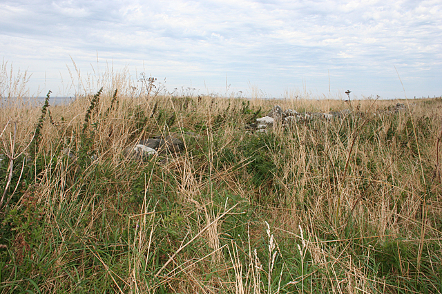
Image: © Anne Burgess Taken: 30 Aug 2016
The map, and the crumbling remains of a dyke, suggest that this overgrown patch of ground was once a cultivated field.
Images are licensed for reuse under creativecommons.org/licenses/by-sa/2.0
Image Location
Latitude
57.693276
Longitude
-2.032193