Pasture and Coed Caer Bedw
Introduction
The photograph on this page of Pasture and Coed Caer Bedw by Jonathan Wilkins as part of the Geograph project.
The Geograph project started in 2005 with the aim of publishing, organising and preserving representative images for every square kilometre of Great Britain, Ireland and the Isle of Man.

There are currently over 7.5m images from over 14,400 individuals and you can help contribute to the project by visiting https://www.geograph.org.uk
Pasture and Coed Caer Bedw
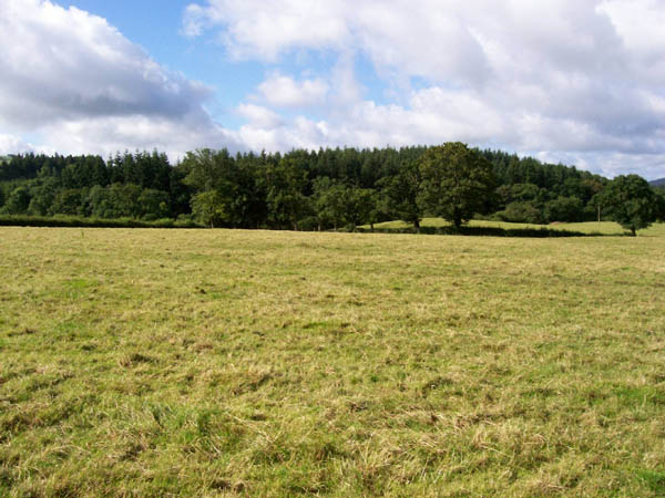
Image: © Jonathan Wilkins Taken: 18 Jul 2007
Rough pasture leading to distant forest. An empty square, and no sign of the footpath!
Images are licensed for reuse under creativecommons.org/licenses/by-sa/2.0
Image Location


Leaflet Map data © OpenStreetMap
Latitude
51.9337
Longitude
-3.850252