Carnock Burn
Introduction
The photograph on this page of Carnock Burn by Steve Partridge as part of the Geograph project.
The Geograph project started in 2005 with the aim of publishing, organising and preserving representative images for every square kilometre of Great Britain, Ireland and the Isle of Man.

There are currently over 7.5m images from over 14,400 individuals and you can help contribute to the project by visiting https://www.geograph.org.uk
Carnock Burn
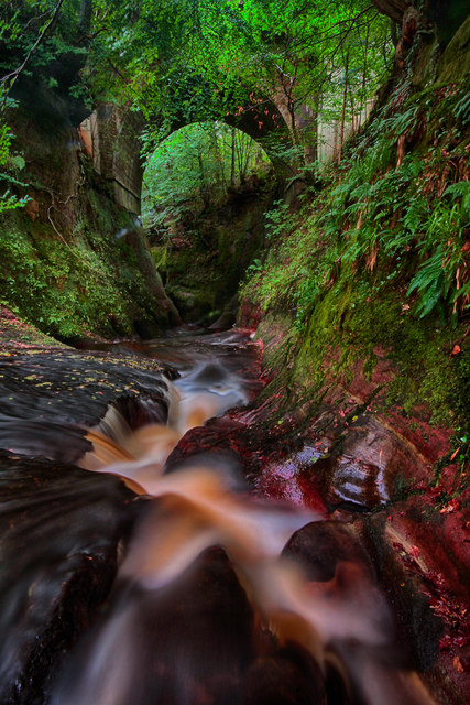
Image: © Steve Partridge Taken: 28 Aug 2016
From here the burn flows NE, beneath the bridge carrying the A809, into Finnich Glen. The picturesque glen is 70 feet deep in places and is visited by thousands of people every year and contains a rock feature known as the Devil's Pulpit. The pulpit is accessible via a set of very steep and slippery stone steps on the South side of the glen.
Images are licensed for reuse under creativecommons.org/licenses/by-sa/2.0
Image Location
Latitude
56.031809
Longitude
-4.41831