Farmland near Pont Llanio, Ceredigion
Introduction
The photograph on this page of Farmland near Pont Llanio, Ceredigion by Roger Kidd as part of the Geograph project.
The Geograph project started in 2005 with the aim of publishing, organising and preserving representative images for every square kilometre of Great Britain, Ireland and the Isle of Man.

There are currently over 7.5m images from over 14,400 individuals and you can help contribute to the project by visiting https://www.geograph.org.uk
Farmland near Pont Llanio, Ceredigion
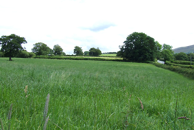
Image: © Roger Kidd Taken: 28 Jul 2007
The A485 to Tregaron creeps into the picture on the right.
Images are licensed for reuse under creativecommons.org/licenses/by-sa/2.0
Image Location
Latitude
52.195236
Longitude
-3.985028