Hoarding, 10, West Street
Introduction
The photograph on this page of Hoarding, 10, West Street by John Baker as part of the Geograph project.
The Geograph project started in 2005 with the aim of publishing, organising and preserving representative images for every square kilometre of Great Britain, Ireland and the Isle of Man.

There are currently over 7.5m images from over 14,400 individuals and you can help contribute to the project by visiting https://www.geograph.org.uk
Hoarding, 10, West Street
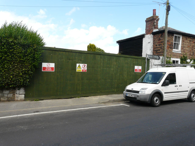
Image: © John Baker Taken: 7 Aug 2016
Before the hoarding was erected, one could obtain a view of Image I assume the house has been demolished, as described in Maidstone Borough Council’s planning application 13/1117 as the “demolition of existing dwelling and erection of replacement 2-storey, six bedroom dwelling with integral garage”.
Images are licensed for reuse under creativecommons.org/licenses/by-sa/2.0
Image Location
Latitude
51.243487
Longitude
0.672178