Southeast end of Drakes Road, St Thomas, Exeter
Introduction
The photograph on this page of Southeast end of Drakes Road, St Thomas, Exeter by Jaggery as part of the Geograph project.
The Geograph project started in 2005 with the aim of publishing, organising and preserving representative images for every square kilometre of Great Britain, Ireland and the Isle of Man.

There are currently over 7.5m images from over 14,400 individuals and you can help contribute to the project by visiting https://www.geograph.org.uk
Southeast end of Drakes Road, St Thomas, Exeter
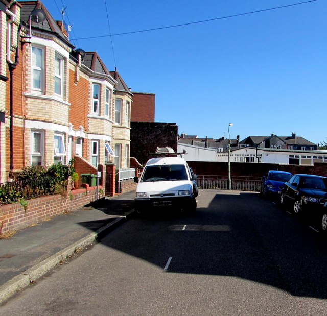
Image: © Jaggery Taken: 30 Aug 2016
Drakes Road extends for 75 metres from Nelson Road to the railings ahead.
Images are licensed for reuse under creativecommons.org/licenses/by-sa/2.0
Image Location
Latitude
50.716964
Longitude
-3.542386