Common Field/Six Acres
Introduction
The photograph on this page of Common Field/Six Acres by Simon Carey as part of the Geograph project.
The Geograph project started in 2005 with the aim of publishing, organising and preserving representative images for every square kilometre of Great Britain, Ireland and the Isle of Man.

There are currently over 7.5m images from over 14,400 individuals and you can help contribute to the project by visiting https://www.geograph.org.uk
Common Field/Six Acres
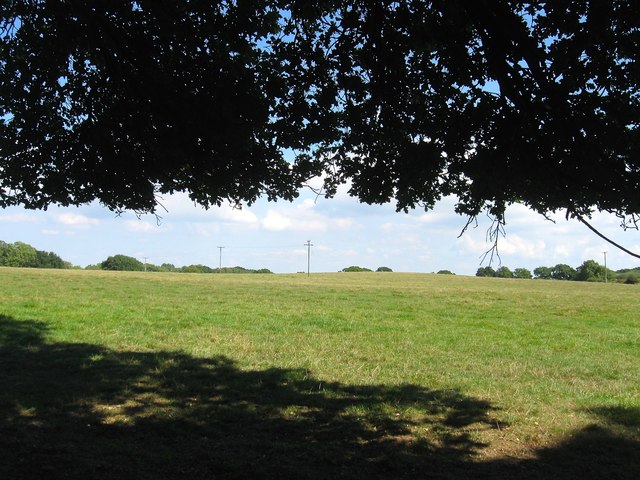
Image: © Simon Carey Taken: 30 Aug 2016
The name of the fields according to West Grinstead's 1841 tithe map that have been combined to form a larger unit. Common Field was in the foreground adjacent to Windsor Common whilst Six Acres was located around the small peak in the distance.
Images are licensed for reuse under creativecommons.org/licenses/by-sa/2.0
Image Location
Latitude
50.949447
Longitude
-0.35245