Watkin's Folly pub, Wembley
Introduction
The photograph on this page of Watkin's Folly pub, Wembley by Christopher Hilton as part of the Geograph project.
The Geograph project started in 2005 with the aim of publishing, organising and preserving representative images for every square kilometre of Great Britain, Ireland and the Isle of Man.

There are currently over 7.5m images from over 14,400 individuals and you can help contribute to the project by visiting https://www.geograph.org.uk
Watkin's Folly pub, Wembley
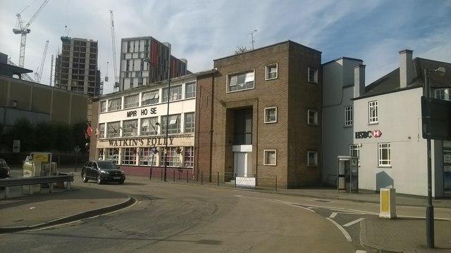
Image: © Christopher Hilton Taken: 31 Aug 2016
The development of the Wembley area owes much to Sir Edward Watkin, the chairman of various railway companies that stretched from the north to the Channel. In the late nineteenth century he proposed the erection of a tower here to rival the Eiffel Tower, only the bottom of which was ever completed: "Watkin's Folly" stood there for a few years before the site was used for the British Empire Exhibition and the first Wembley stadium, developments that shaped the current look of the area.
Images are licensed for reuse under creativecommons.org/licenses/by-sa/2.0
Image Location
Latitude
51.561563
Longitude
-0.282526