South Techmuiry
Introduction
The photograph on this page of South Techmuiry by Anne Burgess as part of the Geograph project.
The Geograph project started in 2005 with the aim of publishing, organising and preserving representative images for every square kilometre of Great Britain, Ireland and the Isle of Man.

There are currently over 7.5m images from over 14,400 individuals and you can help contribute to the project by visiting https://www.geograph.org.uk
South Techmuiry
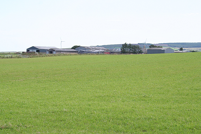
Image: © Anne Burgess Taken: 30 Aug 2016
The road passes through the corner of the square, just enough for this to be in square. The first edition of the Ordnance Survey six-inch map names this as South Mains so its full name was probably South Mains of Techmuiry.
Images are licensed for reuse under creativecommons.org/licenses/by-sa/2.0
Image Location
Latitude
57.628044
Longitude
-2.078516