Aerodrome Farm
Introduction
The photograph on this page of Aerodrome Farm by Bob Harvey as part of the Geograph project.
The Geograph project started in 2005 with the aim of publishing, organising and preserving representative images for every square kilometre of Great Britain, Ireland and the Isle of Man.

There are currently over 7.5m images from over 14,400 individuals and you can help contribute to the project by visiting https://www.geograph.org.uk
Aerodrome Farm
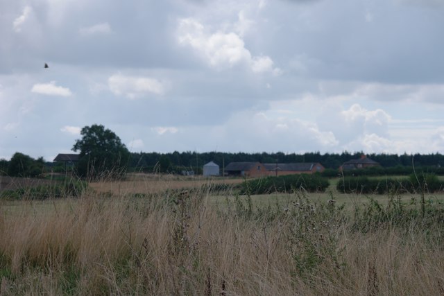
Image: © Bob Harvey Taken: 28 Aug 2016
Aerodrome Farm takes its name from the WW1 grass runway aerodrome known as RAF Buckminster. The farm buildings date back to 1897, however. RAF Buckminster was opened in 1916 and closed in 1919. See http://www.raf-lincolnshire.info/buckminster/buckminster.htm
Images are licensed for reuse under creativecommons.org/licenses/by-sa/2.0
Image Location
Latitude
52.805708
Longitude
-0.675706