Former nursery grounds, Bagshot
Introduction
The photograph on this page of Former nursery grounds, Bagshot by Alan Hunt as part of the Geograph project.
The Geograph project started in 2005 with the aim of publishing, organising and preserving representative images for every square kilometre of Great Britain, Ireland and the Isle of Man.

There are currently over 7.5m images from over 14,400 individuals and you can help contribute to the project by visiting https://www.geograph.org.uk
Former nursery grounds, Bagshot
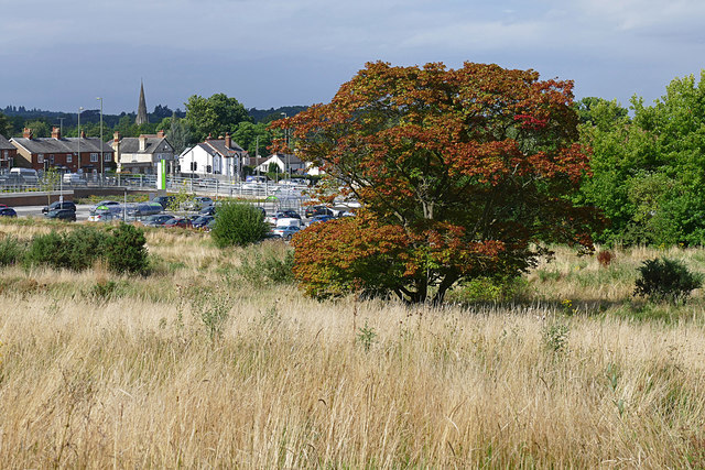
Image: © Alan Hunt Taken: 22 Aug 2016
An acer left over when the Notcutts Nursery site was developed. The properties along the London Road can be seen in the background.
Images are licensed for reuse under creativecommons.org/licenses/by-sa/2.0
Image Location
Latitude
51.354178
Longitude
-0.700025