Near Cote Garth
Introduction
The photograph on this page of Near Cote Garth by Peter Standing as part of the Geograph project.
The Geograph project started in 2005 with the aim of publishing, organising and preserving representative images for every square kilometre of Great Britain, Ireland and the Isle of Man.

There are currently over 7.5m images from over 14,400 individuals and you can help contribute to the project by visiting https://www.geograph.org.uk
Near Cote Garth
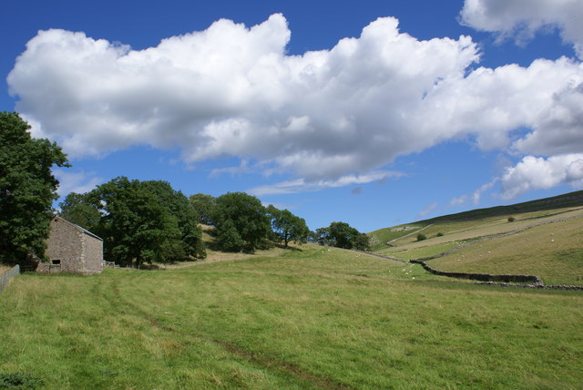
Image: © Peter Standing Taken: 29 Jul 2007
The footpath from Whingill to Cote Garth crosses under the disused railway and then passes through attractive scenery with Long Rigg rising to the right
Images are licensed for reuse under creativecommons.org/licenses/by-sa/2.0
Image Location
Latitude
54.483141
Longitude
-2.313287