Ham Cottages
Introduction
The photograph on this page of Ham Cottages by Simon Carey as part of the Geograph project.
The Geograph project started in 2005 with the aim of publishing, organising and preserving representative images for every square kilometre of Great Britain, Ireland and the Isle of Man.

There are currently over 7.5m images from over 14,400 individuals and you can help contribute to the project by visiting https://www.geograph.org.uk
Ham Cottages
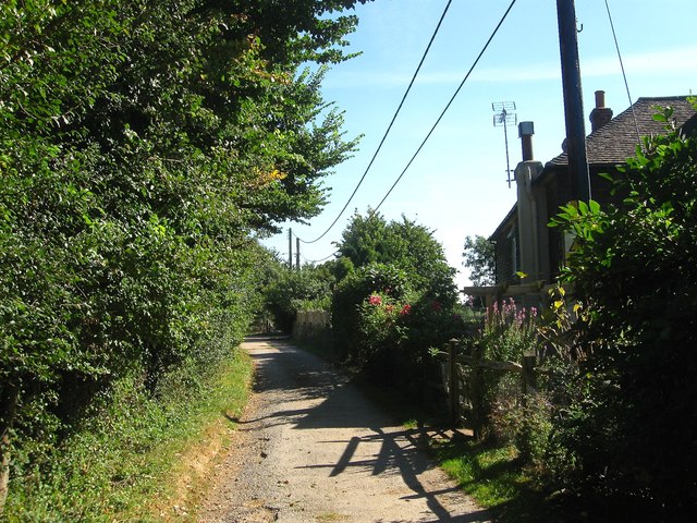
Image: © Simon Carey Taken: 30 Aug 2016
A semi-detached pair of cottages at the southern end of the Lock Farm complex. They appear to be either extensions of the original 19th century Lock Cottages that were marked on OS maps from 1875-1911 or rebuilds.
Images are licensed for reuse under creativecommons.org/licenses/by-sa/2.0
Image Location
Latitude
50.951957
Longitude
-0.326592