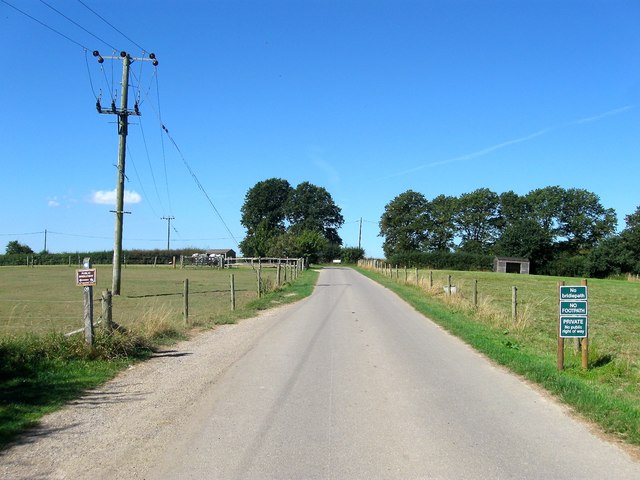
Lock Lane
Introduction
The photograph on this page of Lock Lane by Simon Carey as part of the Geograph project.
The Geograph project started in 2005 with the aim of publishing, organising and preserving representative images for every square kilometre of Great Britain, Ireland and the Isle of Man.
There are currently over 7.5m images from over 14,400 individuals and you can help contribute to the project by visiting https://www.geograph.org.uk

Image: © Simon Carey Taken: 30 Aug 2016
The private road becomes private along this stretch with the bridleway turning southwards to go through the middle of the farm. It rejoins another public footpath at the junction at the far end where the lane heads north to access the dwellings around the former Grants Farm. It is interesting that the bridleways and footpaths going through the farm have not actually been diverted along here but keep to their original routes.

