Lock Farm House
Introduction
The photograph on this page of Lock Farm House by Simon Carey as part of the Geograph project.
The Geograph project started in 2005 with the aim of publishing, organising and preserving representative images for every square kilometre of Great Britain, Ireland and the Isle of Man.

There are currently over 7.5m images from over 14,400 individuals and you can help contribute to the project by visiting https://www.geograph.org.uk
Lock Farm House
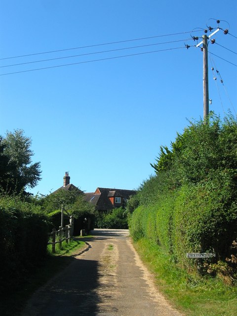
Image: © Simon Carey Taken: 30 Aug 2016
The old farmhouse dates from 1702 and is located to the east of the current farm complex.
Images are licensed for reuse under creativecommons.org/licenses/by-sa/2.0
Image Location
Latitude
50.954188
Longitude
-0.325373