Track alongside Llyn-Yr-Oerfa
Introduction
The photograph on this page of Track alongside Llyn-Yr-Oerfa by Ian Capper as part of the Geograph project.
The Geograph project started in 2005 with the aim of publishing, organising and preserving representative images for every square kilometre of Great Britain, Ireland and the Isle of Man.

There are currently over 7.5m images from over 14,400 individuals and you can help contribute to the project by visiting https://www.geograph.org.uk
Track alongside Llyn-Yr-Oerfa
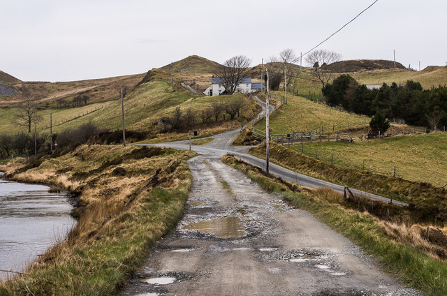
Image: © Ian Capper Taken: 29 Mar 2014
The track over the dam of Llyn-Yr-Oerfa, a small reservoir above the Rheidol valley. The lane dropping down on the right leads to Ystumtuen.
Images are licensed for reuse under creativecommons.org/licenses/by-sa/2.0
Image Location


Leaflet Map data © OpenStreetMap
Latitude
52.400755
Longitude
-3.868809