Irvestone
Introduction
The photograph on this page of Irvestone by Anne Burgess as part of the Geograph project.
The Geograph project started in 2005 with the aim of publishing, organising and preserving representative images for every square kilometre of Great Britain, Ireland and the Isle of Man.

There are currently over 7.5m images from over 14,400 individuals and you can help contribute to the project by visiting https://www.geograph.org.uk
Irvestone
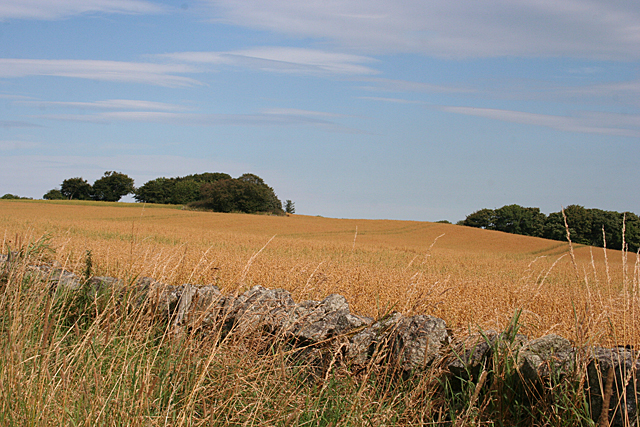
Image: © Anne Burgess Taken: 30 Aug 2016
The clump of trees in the next field, at upper left in this view, was Irvestone. It is still marked on modern maps, so there must presumably be some ruins there, but I wasn't about to trample through the crop to see. It is named on the First Edition of the Ordnance Survey six-inch map. See http://maps.nls.uk/geo/explore/#zoom=17&lat=57.6448&lon=-2.1426&layers=5&b=1
Images are licensed for reuse under creativecommons.org/licenses/by-sa/2.0
Image Location
Latitude
57.644156
Longitude
-2.143044